
2023-01-15
Level is an instrument that establishes a horizontal line of sight to determine the elevation difference between two points on the ground. The principle is to measure the height difference between ground points according to the principle of leveling. The main components are telescope, tube level (or compensator), vertical axis, base, foot screw. According to the structure, it is divided into slight tilt level, automatic leveling level, laser level and digital level (also known as electronic level). According to the accuracy, it is divided into precision level and ordinary level.
The level can be used in national first-class leveling and seismic leveling, construction engineering measurement, deformation and settlement monitoring and mine measurement, large machine installation, tool machining measurement and precision engineering measurement.
1.Leveling network measurement
2.Deformation monitoring, ground subsidence monitoring
3.Industrial measurement
4.Tunnel and mine survey
5.Topographic survey leveling line survey, regional leveling survey, leveling network survey, contour survey
6.Road and railway construction lofting profile survey, cross section survey, elevation lofting
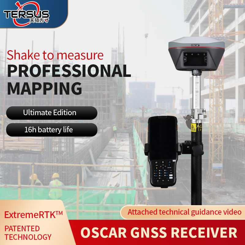
DSP series products advantages: seven-level waterproof, high-definition imaging, millimeter precision, stable performance, optical coarse view, fine work
Product features:
1. High-end workmanship, fashionable appearance;
2. Fully closed structure, suitable for all-weather use;
3. Big Foot spiral improves user experience;
4. Flat/spherical chassis is suitable for all kinds of foot frame connection;
5. Stability, high precision to ensure accurate measurement;
6. High-definition imaging, optical coarse aim.
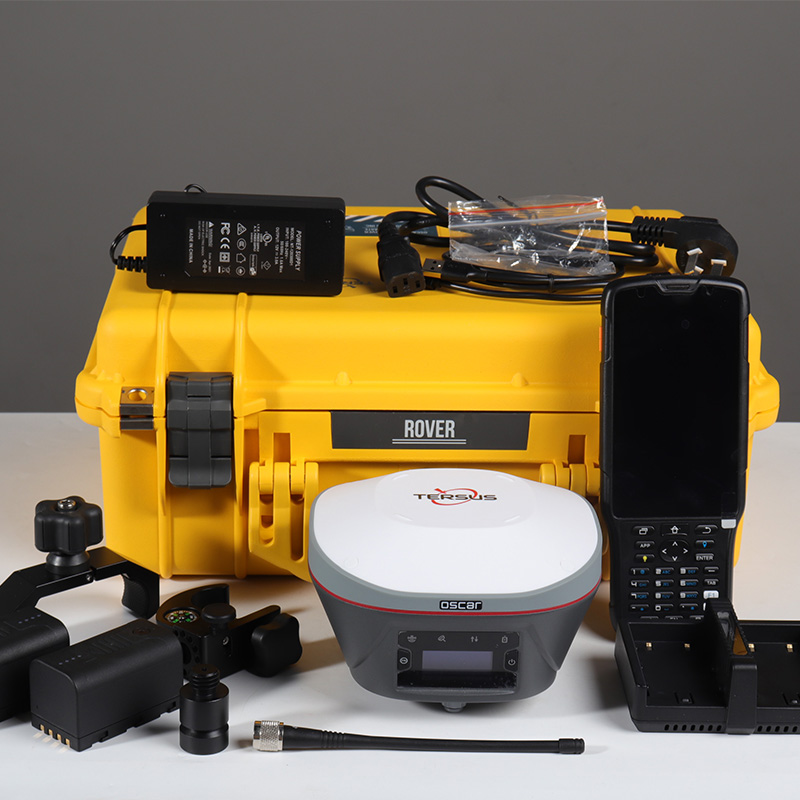
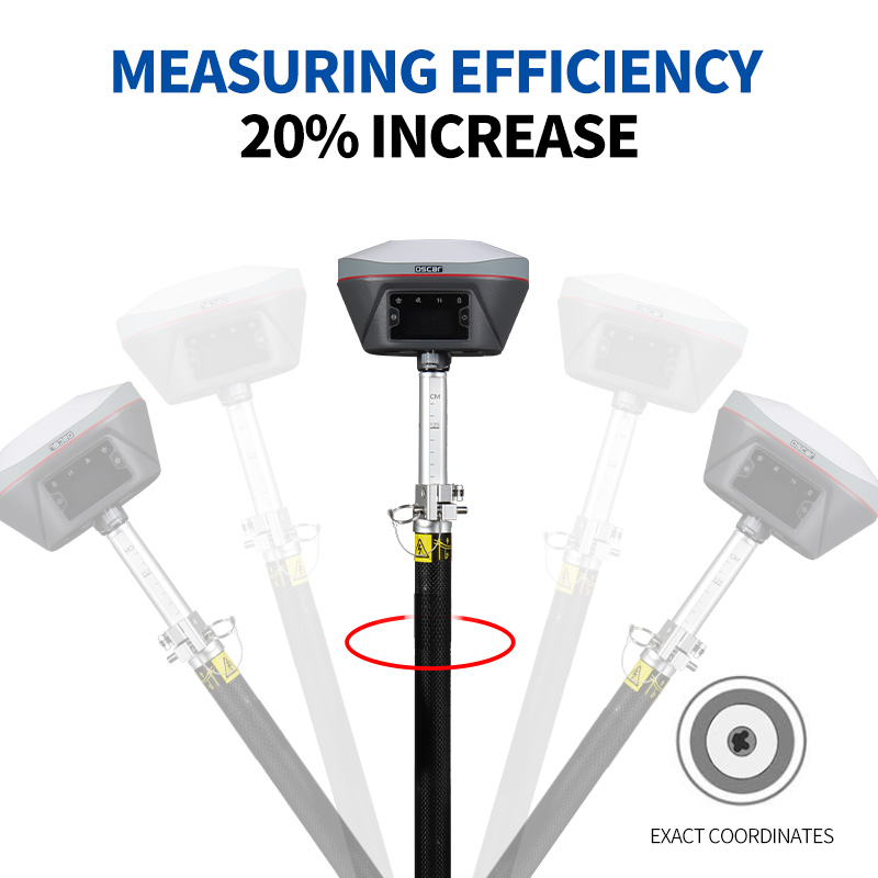
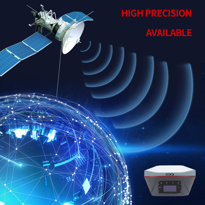
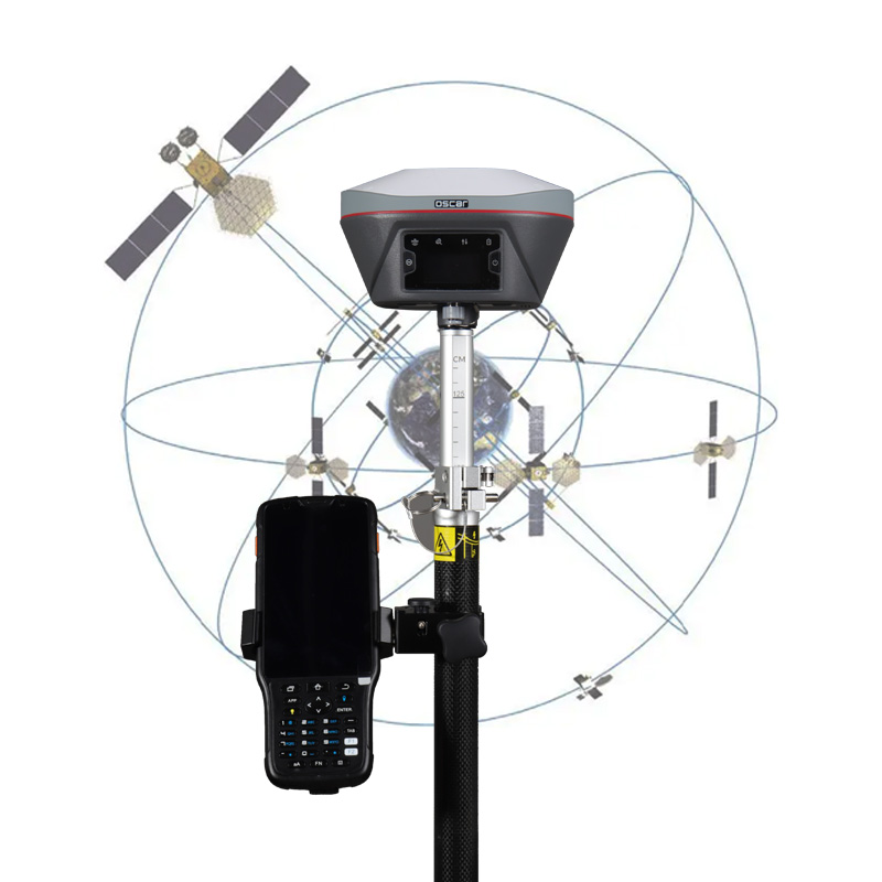
As a brand of Shanghai Jinggrong Network Technology Co., LTD., Tianshuo Navigation is committed to the research and development of GNSS core technology and integrated navigation algorithm, providing real-time centimeter-level, post-processing millimeter-level high-precision positioning solutions. Headquartered in Shanghai, the company has subsidiaries and offices in the United States and Australia. GNSS products fit the needs of customers, and enjoy a good reputation at home and abroad. We have agents in more than 50 countries and users in more than 90 countries. Based on simple and rapid application integration, the GNSS RTK board, modules and splitters developed and produced by us provide high-precision navigation, centimeter-level global navigation and positioning capabilities, and can flexibly connect with other devices, which are suitable for the development of various extended applications. Such as surveying and mapping, precision agriculture, lane level navigation, UAV, unmanned vehicle, automatic control of construction machinery, color monitoring, etc. Our independent research and development of Oscar series mapping - body machine supports the whole system and the whole frequency band, improve the positioning availability and reliability of RTK in harsh environment; Equipped with high performance inertial navigation module and Tianshuo integrated navigation algorithm, it can provide tilt compensation function without Angle limitation, free from correction, free from magnetic interference, high precision and sailing. Matching manual book software is evolving to meet customer needs.
We can provide CORS hardware and software solutions, PPK solutions for UAV, color monitoring and other solutions, and have the ability to provide high-precision GNSS OEM/ODM services.
Wang Xiaoliang
Oscargnssworld@gmail.com
13005721@qq.com
